7 DaysFrom $2,550Best Acclimatization Profile
Lemosho Route, 7 Days
The most scenic way up Kilimanjaro, and one of the best acclimatization profiles on the mountain.
The Most Scenic Way Up
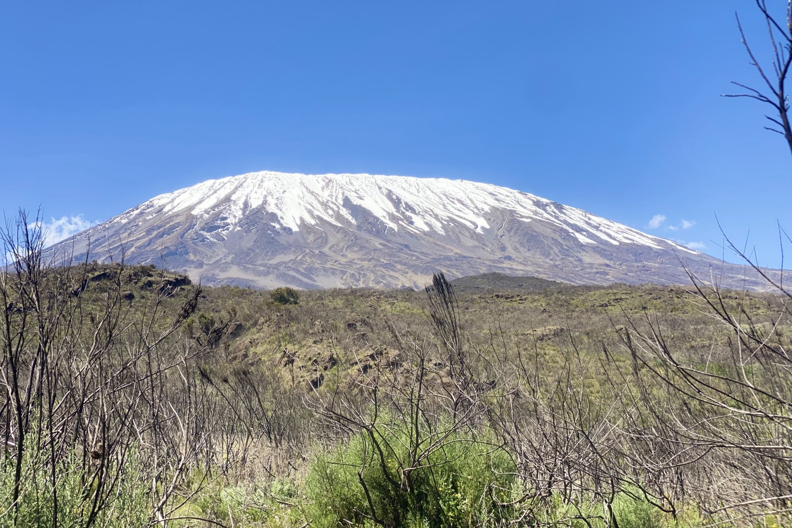
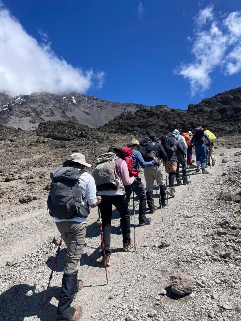
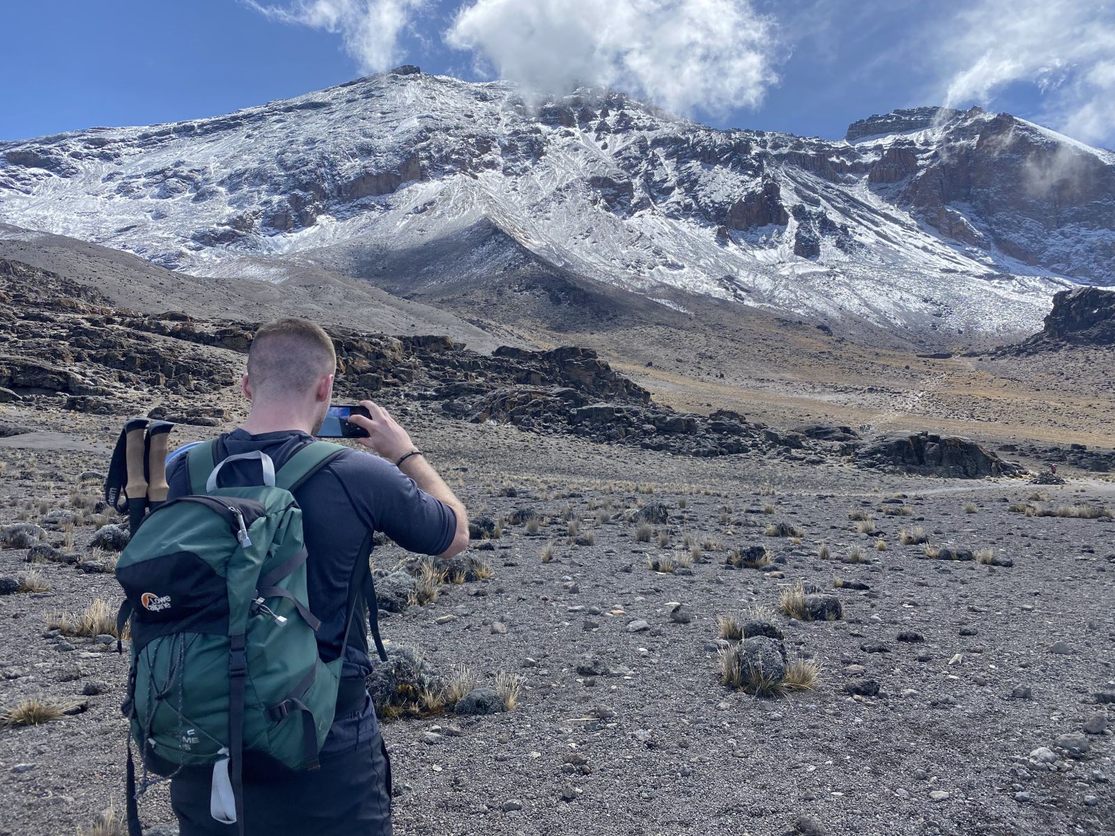
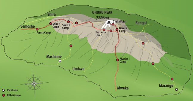
Lemosho is the route I recommend most often for climbers who want to see more of the mountain and give their body the best chance of reaching the top. It approaches from the quiet western side, away from the busier trailheads, and spends seven days working through rainforest, the wide-open Shira Plateau, and the dramatic Barranco Wall before the summit push.
The extra distance compared to a shorter route isn't wasted time, it's built-in acclimatization. You gain altitude more gradually, sleep at a wider range of elevations, and arrive at Barafu Camp for the summit attempt in better shape than a faster itinerary would leave you.
Day by Day
Arrive in Tanzania
You'll be picked up at Kilimanjaro International Airport and transferred to your hotel in Arusha. I'll meet you there to brief you on the days ahead and check your gear, anything missing can be rented on the spot.
Arusha to Lemosho Gate to Mti Mkubwa Camp
- Elevation
- 2,100m → 2,750m
- Distance
- 6km / 3.7mi
- Hiking Time
- 3 hours
- Habitat
- Rainforest
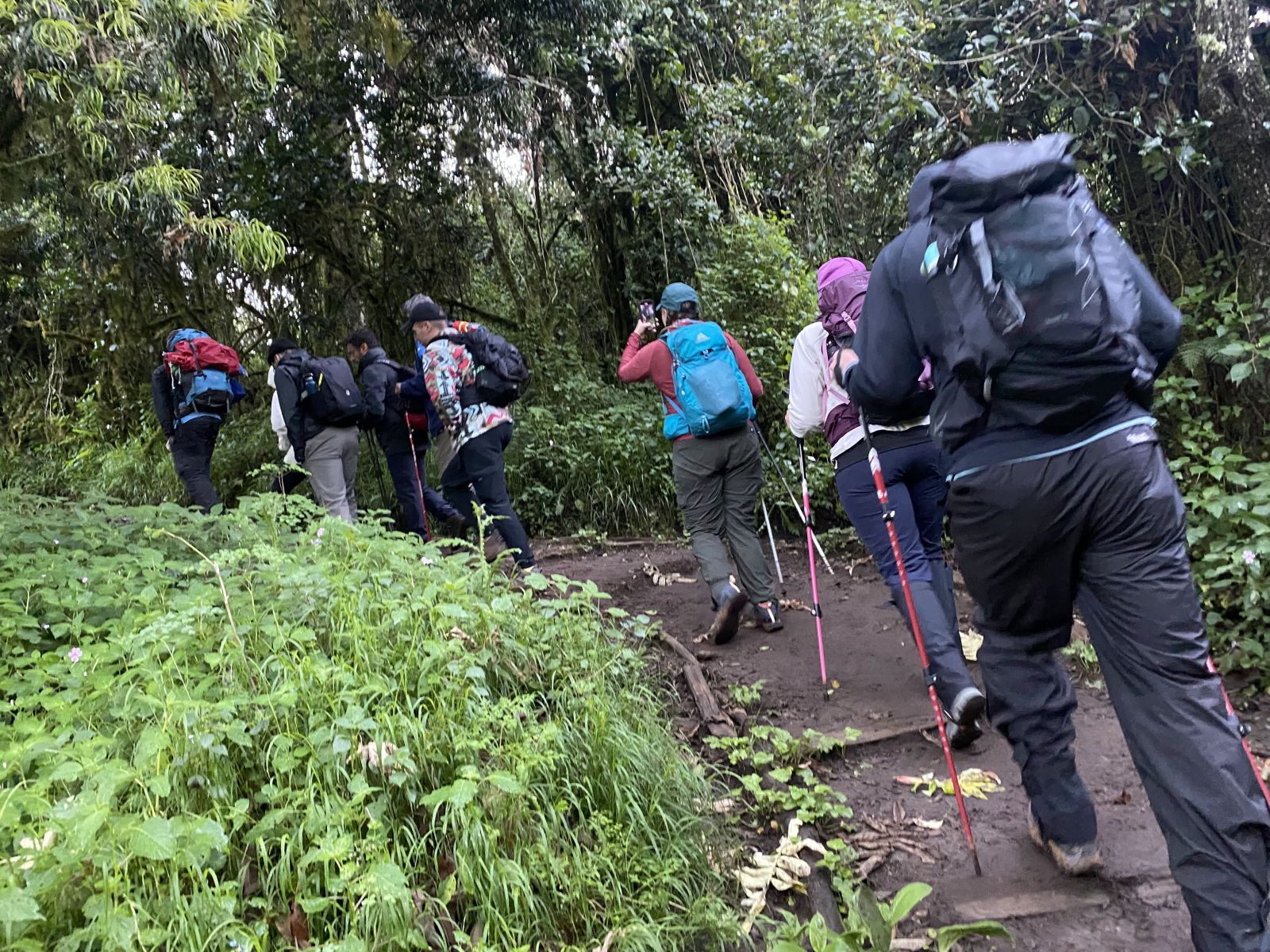
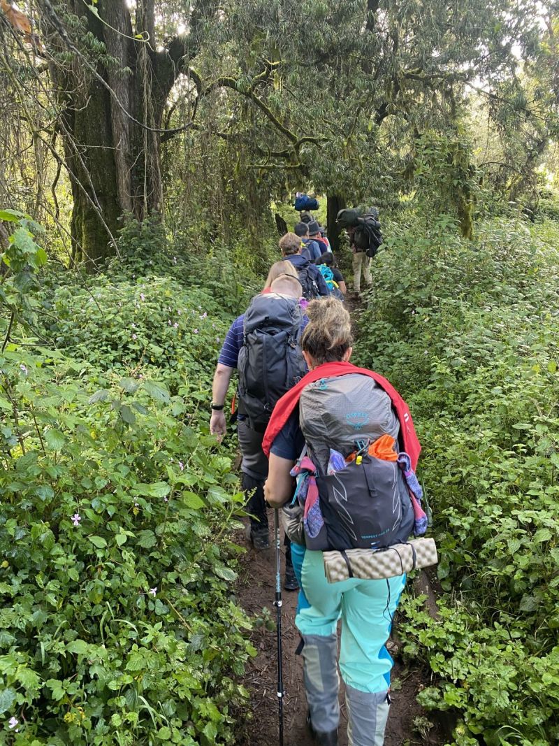
After breakfast, it's a two-hour drive from Arusha to Londorossi Park Gate, then a bumpy 45-minute 4WD track up to the trailhead itself, where the crew registers with the park authority and porters take on the supplies. The three-hour hike into the rainforest is a gentle start, keep an eye out for Colobus monkeys along the way. Camp is at Mti Mkubwa ("Big Tree"), and temperatures can drop to freezing overnight.
Mti Mkubwa Camp to Shira 2 Camp
- Elevation
- 2,750m → 3,505m
- Distance
- 18km / 11.2mi
- Hiking Time
- 8-9 hours
- Habitat
- Moorland
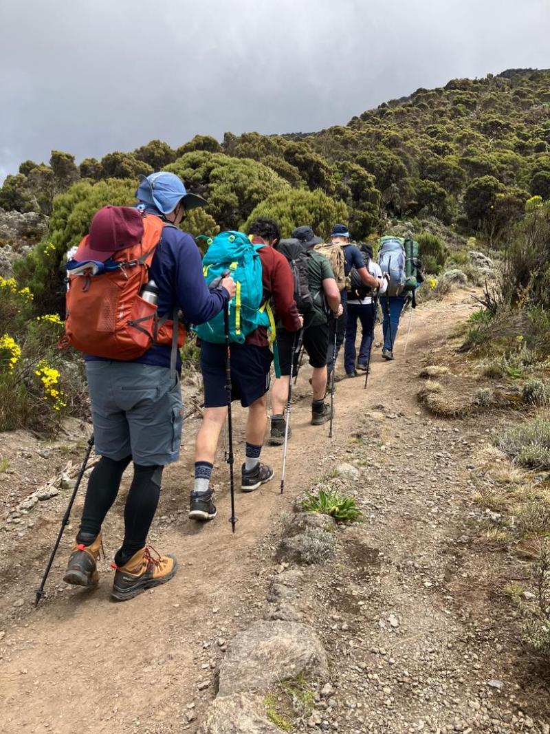
A long day: out of the rainforest and up into heather moorland, crossing streams before the plateau that leads to Shira 2 Camp. The camp sits beside a stream with a striking view across to the Western Breach and its glaciers. Another cold, exposed night, well below freezing.
Shira 2 Camp to Lava Tower to Barranco Camp
- Elevation
- 3,505m → 4,630m → 3,950m
- Distance
- 10km / 6.2mi
- Hiking Time
- 7 hours
- Habitat
- Semi-desert
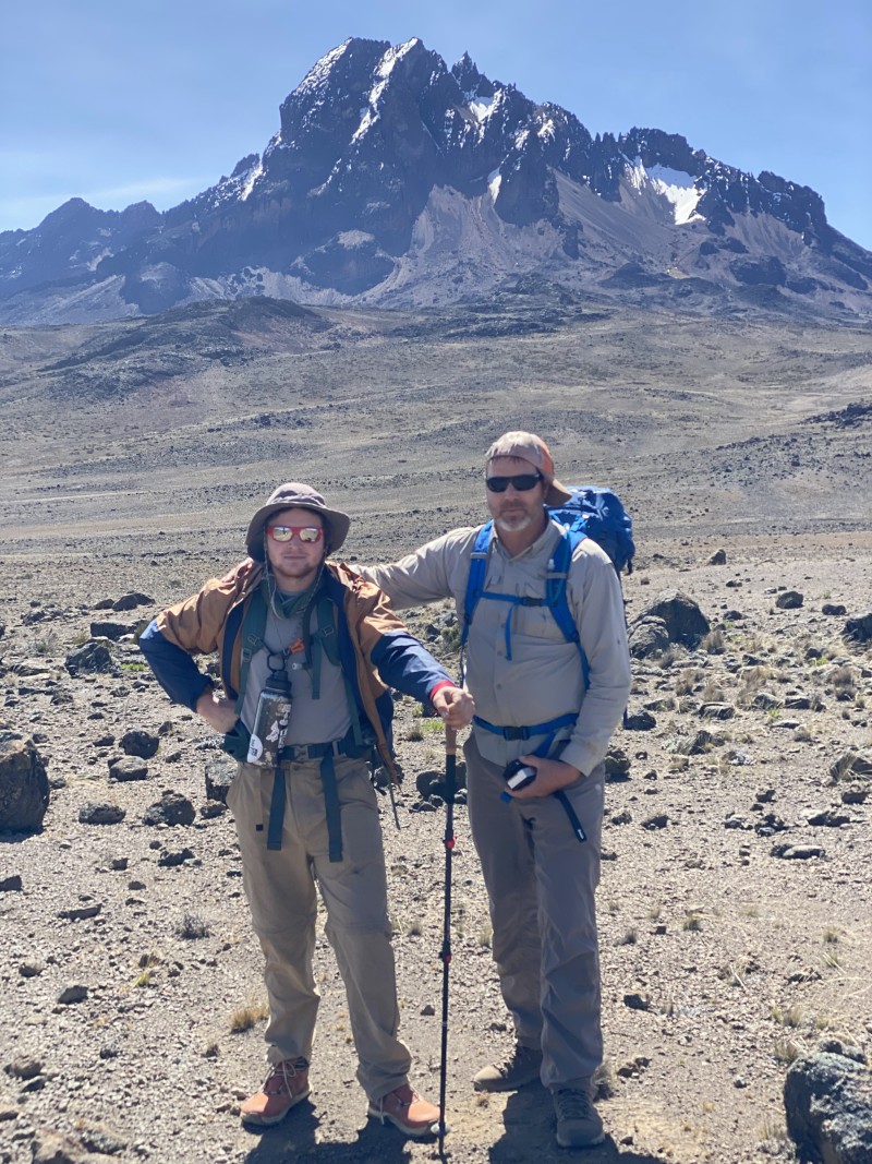
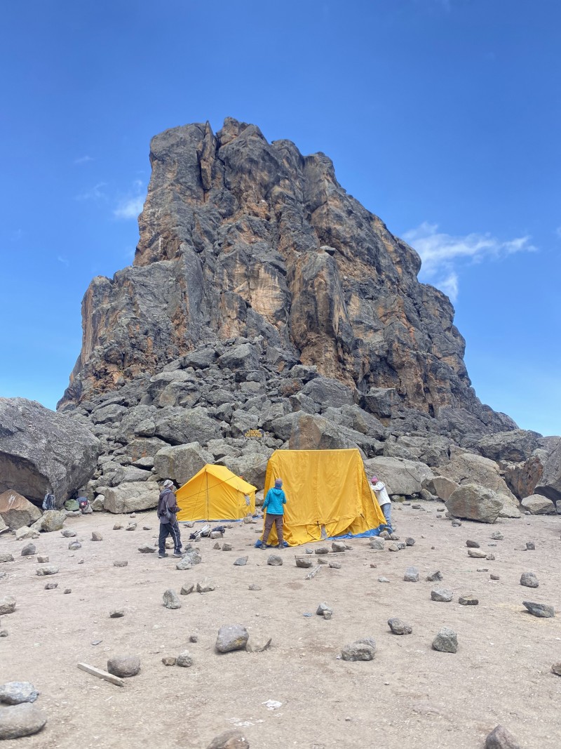
The terrain turns to semi-desert and rock as you head east toward Lava Tower, where lunch is served and, weather permitting, you can climb the tower itself. This is usually where altitude starts to make itself felt, headaches and shortness of breath are common. From there it's a roughly two-hour descent to Barranco Camp, a deliberate "climb high, sleep low" day that helps your body adjust before the harder days ahead.
Barranco Camp to Karanga Camp
- Elevation
- 3,950m → 3,995m
- Distance
- 5km / 3.1mi
- Hiking Time
- 4-5 hours
- Habitat
- Alpine desert
The Barranco Wall looks intimidating from below but is usually easier than it looks, a Class 2 scramble that rewards you with a view of the Heim Glacier from the top. From there the trail winds through Karanga Valley, a short day built for acclimatization.
Karanga Camp to Barafu Camp
- Elevation
- 3,995m → 4,600m
- Distance
- 4km / 2.5mi
- Hiking Time
- 2-3 hours
- Habitat
- Alpine desert
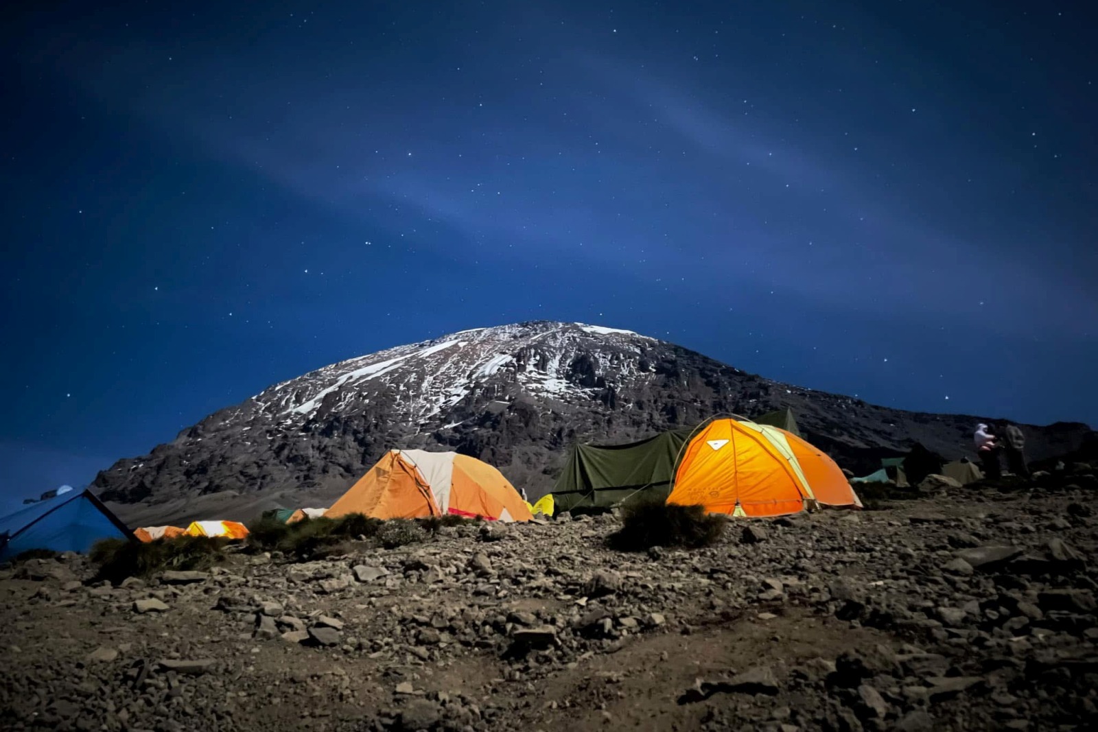
A short hike to Barafu, the last water resupply point before the summit push ("barafu" means ice in Swahili), and the camp sits exposed on a rocky ridge. Dinner comes early so you can rest before an overnight start; I'll brief you in detail on what summit night involves. Lights out by 7pm.
Summit Day: Barafu to Uhuru Peak to Mweka Camp
- Elevation
- 4,600m → 5,895m → 3,100m
- Distance
- 7km up / 23km down
- Hiking Time
- ~8 hrs up, 7-8 hrs down
- Habitat
- Scree & summit ice
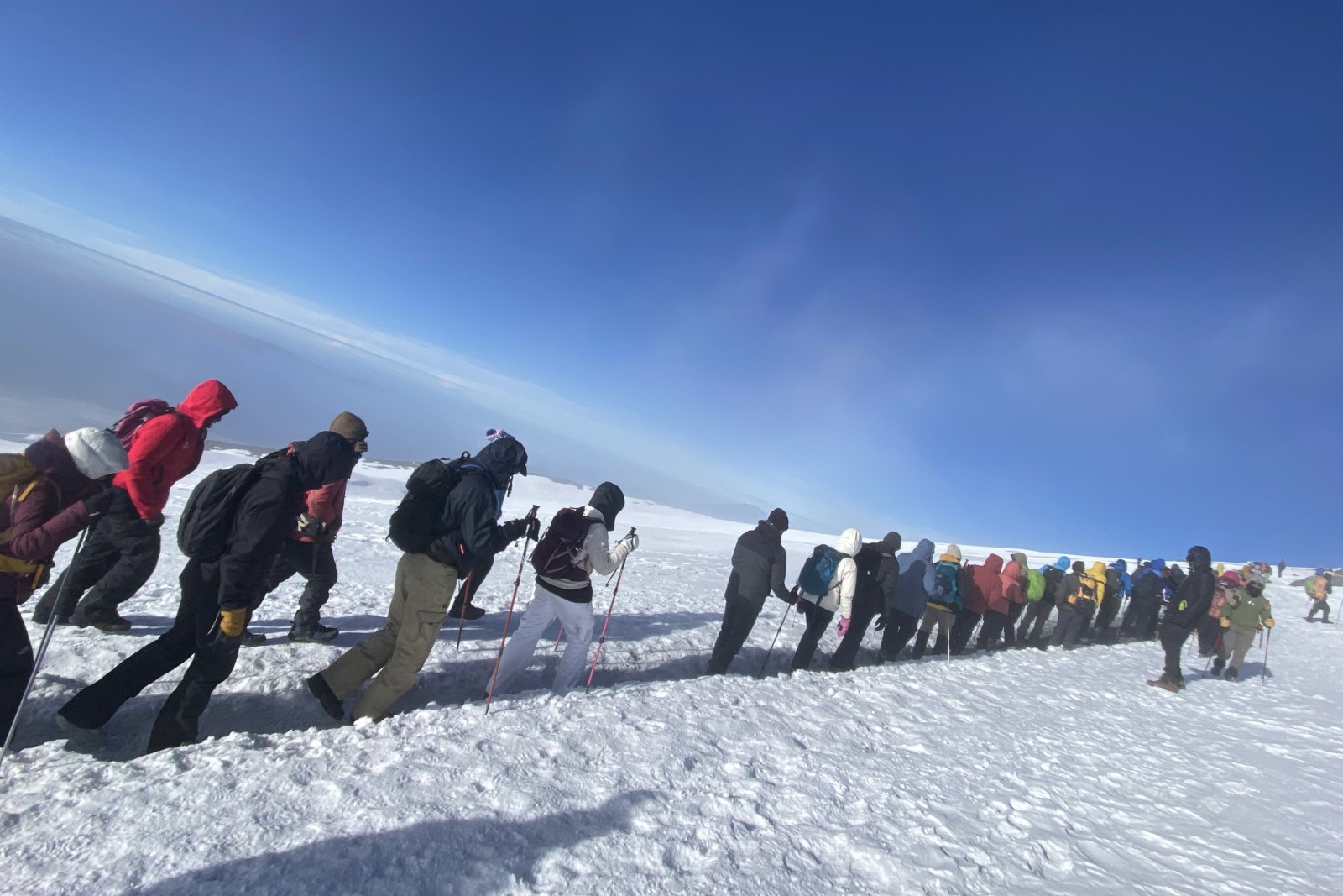
You'll be woken around 11:30pm for tea and biscuits before setting off on the final ascent, the most physically and mentally demanding stretch of the climb. Around six hours in, you reach Stella Point on the crater rim in time for sunrise, then another two hours across snow to Uhuru Peak itself. After time to take it in, the long descent begins: back to Barafu for a hot lunch, then on through scree, moorland and rainforest to Mweka Camp for the night.
Mweka Camp to Mweka Gate to Arusha
- Elevation
- 3,100m → 1,980m
- Distance
- 15km / 9.3mi
- Hiking Time
- 3 hours
- Habitat
- Rainforest
The crew usually marks the descent with singing and dancing, and this is the traditional point to hand out tips to your guide, porters and cook. At Mweka Gate you'll sign the park register (Uhuru Peak earns a gold certificate, Stella Point a green one), then it's a hot lunch and the drive back to Arusha for a shower and a proper rest.
Departure
If your trip ends here, we'll drive you to Kilimanjaro International Airport for your flight home. If you've booked a safari or a few days in Zanzibar afterward, I'll help you transition straight into the next leg.
What You Get
Ready for Your Adventure?
- Hotel stay: 1 night before and after the climb
- Airport transfers
- All park permits and fees
- Rescue fees for any potential rescue operation
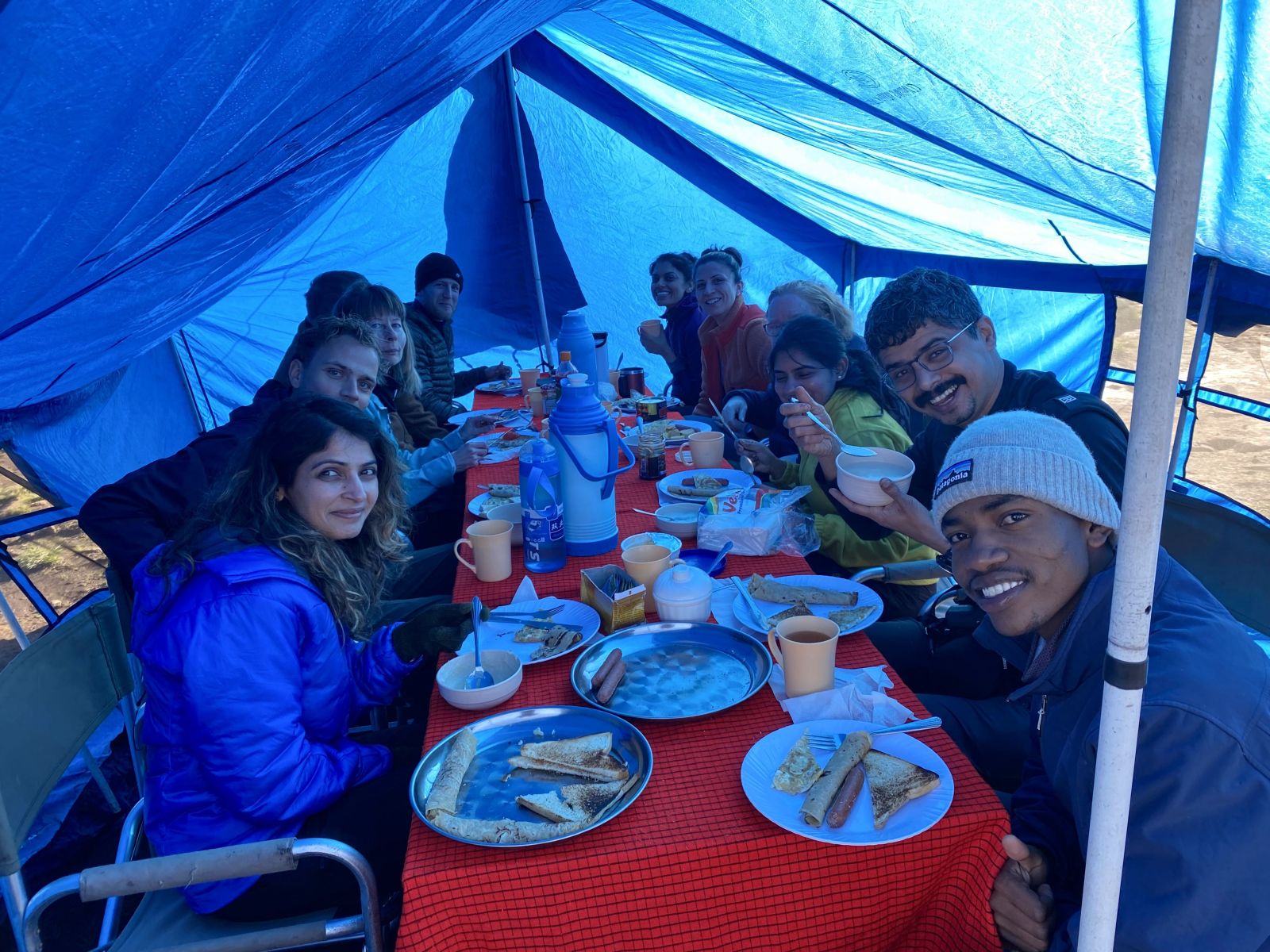
- Fresh meals and drinking water throughout the climb
- Professional mountain guide
- Porters to carry your gear and supplies
- Comfortable two-room mountain tents
- Foam sleeping mattress for each climber
- Transportation to and from the mountain
- Sleeping bag and personal climbing gear (clothing, boots, poles, headlamp, gloves)
- Tips for guides, driver and crew
- Personal expenses: beverages, laundry, and similar costs
- Phone, fax, or other communication services
- Travel insurance (required, covering treks above 4,500m)
- Flights to and from Tanzania
- Visas or other travel documentation
- Snacks on the mountain
- Personal medicine
See the Route